Open-source projects
Here you can find various software projects that were created by our group members and are available under open-source licenses. Before using the software, make sure that the license of a project suits your use case.
All of projects are available on our GitHub group page.
A publication is added where applicable. If you use our code for a scientific project, please cite the corresponding article.
3D Mesh Annotator
3D mesh annotation tool for labelling semantics of urban scenes.
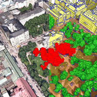
3DBM
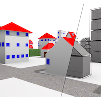
Elevating geometric analysis for urban morphology, solar potential, CFD etc to the next level.
3dfier
Takes 2D GIS datasets and "3dfies" them by lifting each polygon to its height (obtained with LiDAR)
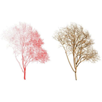
AdTree
Reconstructing accurate and detailed 3D tree models from point clouds

azul
A fast 3D city model viewer for macOS
Carriageway Creator
Create carriageways from centerlines using OSM and areal datasets.
City3D
Large-scale building reconstruction from airborne lidar point clouds
City4CFD
Automatic reconstruction of 3D city geometries tailored for microscale urban flow simulations
CityGML2OBJs
A robust semantic-aware utility to convert CityGML data to OBJ, featuring decoupling of objects and conversion of attributes to colours.

cjio
Python CLI to process and manipulate CityJSON files
Easy3D
A lightweight, easy-to-use, and efficient C++ library for processing and rendering 3D data
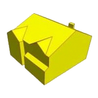
Geoflow (3DBAG)
Large-scale automatic building reconstruction tool used to generate 3DBAG
lod2plus
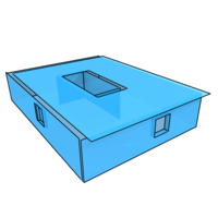
Automatic generation of simple interiors for CityGML LOD2
masbcpp
C++ implementation of the shrinking ball algorithm to estimate the 3D Medial Axis from pointclouds.
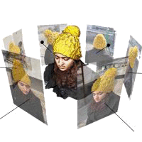
MVStudio
An integrated SfM (Structure from Motion) and MVS (Multi-View Stereo) solution

ninja
A browser viewer and editor for CityJSON files
PolyFit
Piecewise planar object (e.g., buildings) reconstruction from point clouds. Also available in CGAL
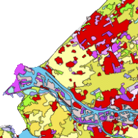
pprepair
Planar partition repair. It ensures that a set of polygons form a valid planar partition, made of valid polygons and having no gaps or overlaps.
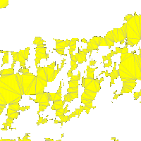
prepair
Automatic repair of GIS polygons according to the OGC Simple Features and ISO 19107 rules.
Random3Dcity
A procedural modelling engine natively supporting CityGML, and capable of generating 392 representations of a single building.
Solar3Dcity
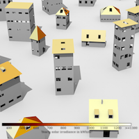
A simple utility to estimate the yearly solar irradiation of buildings in CityGML
val3dity
Geometric validation of 3D primitives according to ISO 19107.